THE BIG 5
The Big 5
5 base camps of 8,000m Peaks. The experience of this trip is hard to describe in words; a physical challenge and a spiritual nature retreat, this is a trip of a life time.
Faithful to the quest, we visit and spend nights at the base camps of Nanga Parbat, K2, Broad Peak and Gasherbrum I & II.
20 DAYS FROM
Physical Rating 5
Best time to visit: June - August
*Pre-qualification is required to join this trip.
-
The morning is free to recover from your journey. In the afternoon and we offer an optional walk to the Margalla hills surrounding the capital. Later in the afternoon, the trek leaders will give a full trip briefing. We will conclude our evening with a group dinner.
-
Trip Profile: distance approx. 170 km, time: 5 to 6 hrs, ending altitude: 2950m(9678ft).
Hiking Profile: distance approx. 8 km, time: 3.5 to 4.5 hrs, ending altitude: 3500m(11485ft).
Take an early morning flight to Gilgit, we stop for breakfast and then continue towards Astore and finally Rupal Valley.
Our first stop is Astore where we will drive close to Rama meadows and take a short 2-hour hike to Rama Lake. The moderate hike has lovely views of landscape, mountains, streams, mini-glaciers, and pools on the way. The lake is dominated by Chongra Peak with views of Nanga Parbat summit.
These hikes will keep you active and your body starts getting used to the altitude. We continue to our hotel in Rupal Valley where we will spend the night.
-
Hiking Profile: distance approx. 13.7 km, time: 6 to 7 hrs, ending altitude: 3800m(12471ft).
Nanga Parbat is a colossal mountain; the peak can be seen from miles away and forms a glacial amphitheater at the head of Raikot Gah. Rising gradually through Rupal’s lush fields, the trail follows the valley’s north side to Herrligkoffer Base Camp (3550m), a beautiful, meadow along the Bazhin Glacier’s east margin. We can camp here or if we feel fit, we have the option to cross the Bazhin Glacier over a trail in 1½ hours to reach Latobah (3530m), broad level meadows frequented by Rupal herders. The incredible peaks of Nanga Parbat form a sweeping panorama.
Nanga Parbat (literally, Naked Mountain) is the ninth highest mountain in the world at 8,126 meters (26,660 ft) above sea level. It is the western anchor of the Himalayas around which the Indus River skirts into the plains of Pakistan. It is located in the Gilgit-Baltistan region of Pakistan and is locally known as 'Deo Mir' ('Deo' meaning 'huge') ('mir' meaning 'mountain').
-
Hiking Profile: distance approx. 13.7 km, time: 6 to 7 hrs, ending altitude: 3500m(11485ft).
Driving Profile: distance approx 75km, time 3hrs, ending altitude 4142m(13,589ft)
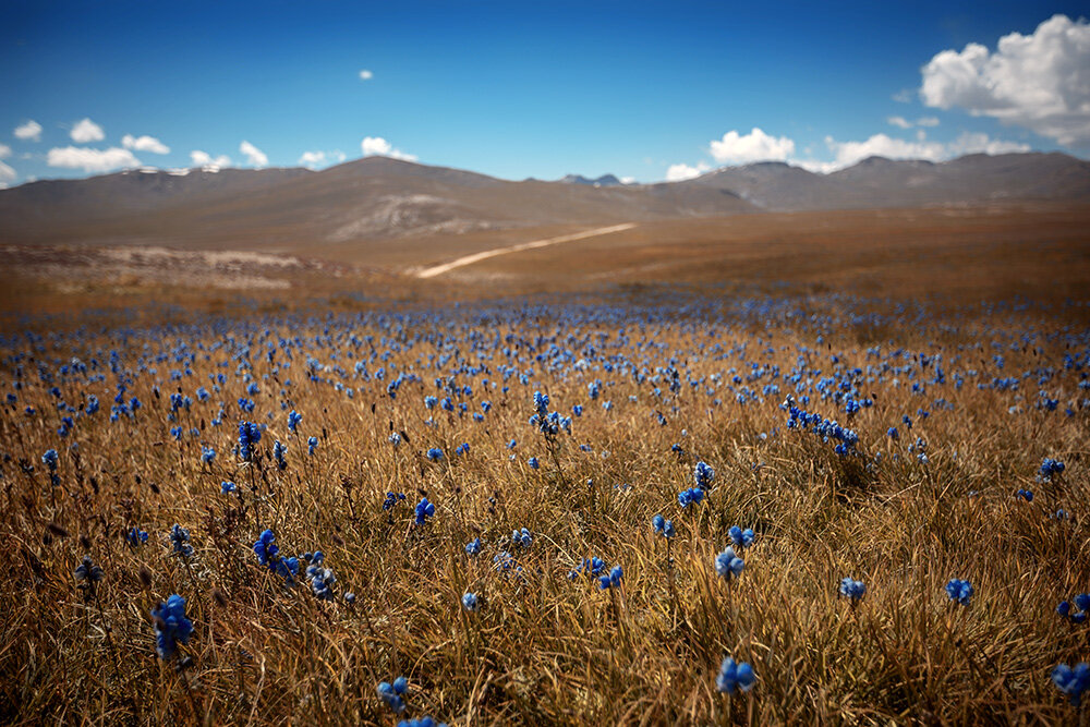
After a relaxed morning, hike back to Rupal from where we will take our jeeps and head to Deosai National Park. The second highest plateau in the world. Due to its location Deosai gets more rain fall and channeled water making it the highest elevation freshwater wetlands in the world. With rolling pastures, beautiful alpine lakes and remarkable biodiversity. We will stop at the beautiful turquoise blue Sheosar Lake and spend the night.
-
After a relaxed morning we drive back towards Skardu getting back to our hotel in the evening. Skardu is the launching point for most expeditions so it is possible to get any additional items that you may need for the days ahead. This time is for you to relax and prepare for the trek ahead.
-
We leave Skardu by jeep for the 7-hour drive to Jhola, passing through the beautiful Shigar Valley. We continue to the confluence of the Braldu and Dumordo Rivers and follow the banks of Braldu river to our camp at Jhola.
-
3400m (11500ft)
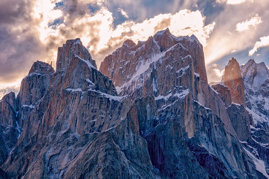
Our route follows the Braldu River, the trail alternates between riverbed and the terraces above. At our high point we have views ahead to the snout of the Baltoro Glacier and the granite peaks of the Trango Towers and Cathedral Peaks.
-
3800m (12468ft)
As we progress, the scenery becomes rugged, wild and even more spectacular. Stunning views gradually emerge of granite peaks on the north side of the glacier. It takes a few hours to cross the glacier. From here we follow a rocky trail along the edge of Baltoro to Khuburtse where we have sensational views of the Grand Cathedral, the Trango Towers and the striking Uli Biaho tower and peak.
-
3905m (12811ft)
We are walking across the crest of the lateral moraine and will cross a small river along the way. It takes 4-6 hours to reach the camp site. Urdukus is a beautiful camp site near an army supply camp. The views of Paiyu, Trango towers, Cathedaral and Uli Biaho are stunning.
-
4,223m (13,855ft)
The path here is unpredictable and changes every year as the glacier shifts. We will walk 3-4 hours to our campsite at Goro I. The campsite is opposite the Yermanendu glacier which flows down from Masherbrum pass. We spend our first night on the glacier.
-
4,550m (14,927ft)
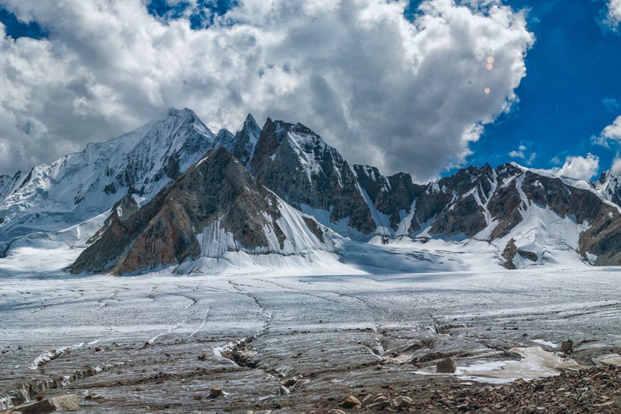
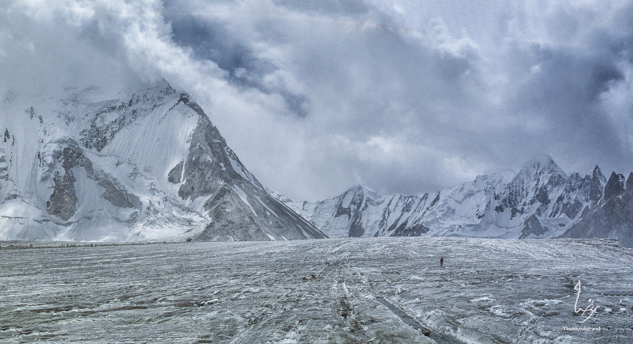
Wake up to views of Masherbrum (7821m), the 22nd highest peak in the world. It takes 3-4 hours to get to Goro II (4330m) where we will have lunch. One after another the big peaks come into view. We pass Mustagh Tower (7284m). Ahead of us Gasherbrum IV (7925m, 17th) acts like a beacon drawing us on, to right we get peeks of Gasherbrum ll (8035m, 14th highest peak). As hike up the Baltoro, Broad Peak (8051m) comes into view above the ridge connecting Marble Peak and Crystal Peak on our left. K2 keeps itself hidden until the very moment we reach Concordia when suddenly its full height is revealed in sweeping lines that climb almost 4000 meters from the valley floor to the summit. We make our camp at on a moraine ridge surrounded on all side by jagged peaks. The next day is to relax and recover, before our jounrey to 4 basecamps of 8,000m peaks.
-
5135m (16847ft)
The first few kilometers after leaving Concordia are covered with crevasses and meltwater rivers, after which reach easy terrain and follow the medial moraine of the Godwin Austen Glacier. It will take us approximately 3 hours to reach Broad Peak base camp. Here we have an excellent view of K2 in one direction and in the other you look back at Concordia framed with Mitre Peak and the bulk of Chogolisa, also known as Bride Peak. After lunch we will continue to K2 base camp. It will take another 2-3 hours to reach the Gilkey memorial. We will have dinner and camp here for the night.
-
5000m(16404ft)
After a relaxed morning we will take a short 2-3 hour hike to Broad Peak base camp. The rest of the day is free to rest and relax before we start trek towards G1 and G2.
-
4,890m (16,043ft)
Trek 5-6 hours along upper Baltoro towards Gasherbrum VI, eventually reaching the confluence of this glacier with the Abruzzi Glacier which goes down towards south Gasherbrum glacier. Here at the base of Gasherbrum VI, we camp for the night at ‘Shaghrin’ (4890m).
-
4,890m (16,043ft)
Walk about 2-3 hours along the Abruzzi glacier to south Gasherbrum glacier, here Gasherbrum I & II base camps are located near the confluence of the two glaciers (5100m). The rest of the day is free to explore the area.
-
4,572m (15,000ft)
Trek 6-7 hours along Abruzzi glacier towards upper Baltoro and cross the upper Baltoro glacier to Vigne Glacier heading towards the base of Chogolisa. This is not a typical camp site, but this trek considerably reduces the distance to Ali camp, we will find a space suitable for the camp site for the night.
-
4,930m (16,174ft)
From Chogolisa we trek 2-3 on Vigne Glacier which sweeps down from the base of the Gondogoro La. Here on the moraine beside the junction we make our home for the night at the place known locally as ‘Ali Camp’ (4800m).
-
5,585m (18,323ft)
We start very early (around 1am). After an early breakfast, we will wear crampons and harnesses and set off roped together towards the foot of the Gondogoro-la pass. After 3-4 hours of steep and strenuous ascent (assisted by fixed ropes) we gain the top to be rewarded with stunning views of K2, Broad Peak and the Gasherbrums. The descent is much steeper than our ascent route and here we will use fixed lines for the majority of the way down. We descend 3-4 hrs to Khuspang camp (4600m).
-
3,400m (11,155ft)
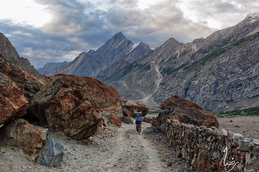
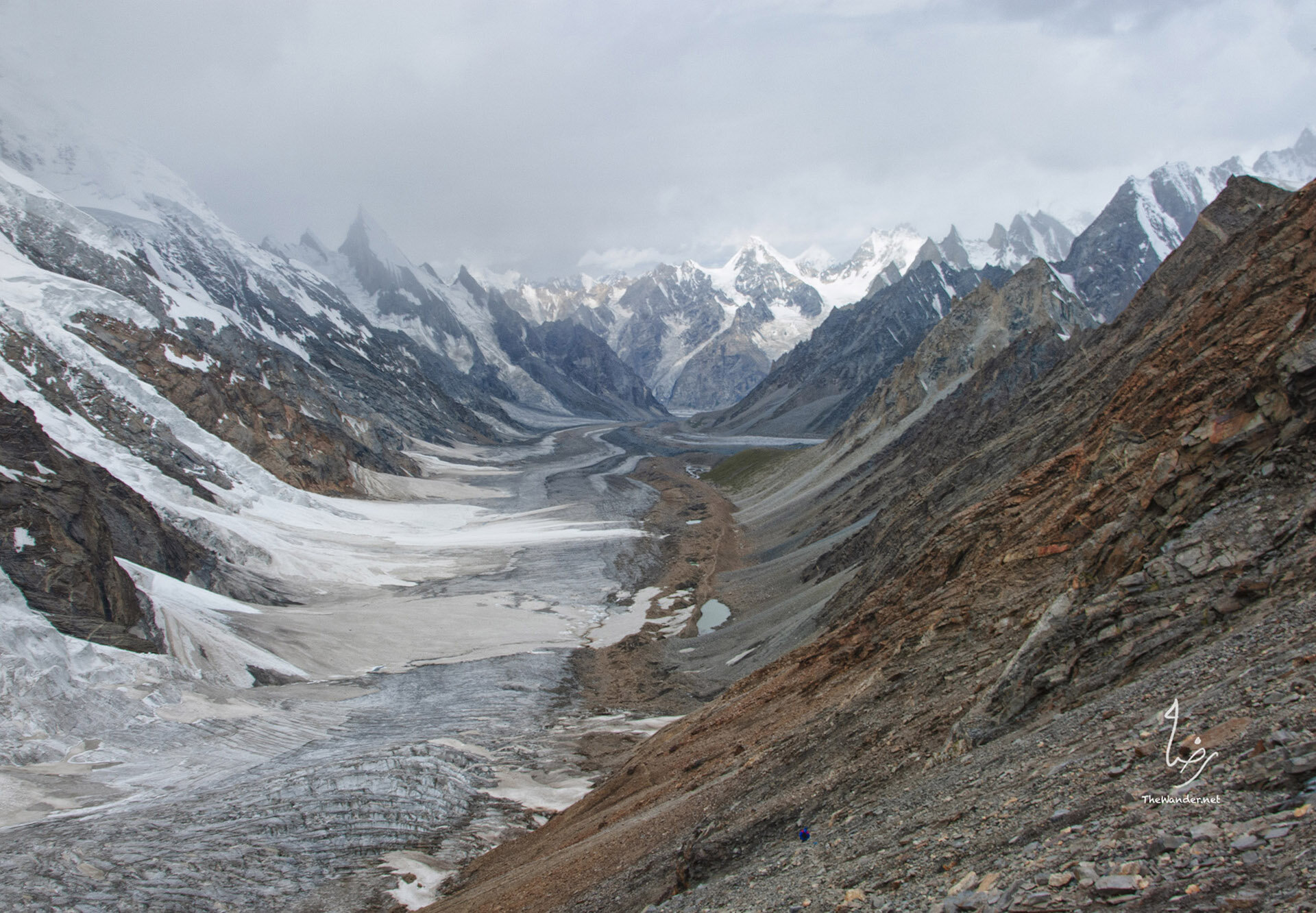
We leave the campsite to get onto the glacier where we pick our way across the moraine and ice, finally crossing the glacier. There is a spectacular view of Masherbrum and the glacier cascading down from Masherbrum Pass. It is a beautiful walk to Shaicho as we pass yak pastures and see the first trees since Paiju. Saicho is a picturesque campsite nestled amongst tamarisks, wild roses and junipers set beside the river.
-
3,050m (10,006ft)
Today is our final day of trekking; 3-4 hours of easy descent bring us to the village of Hushe. Nestled in the Hushe Valley the village is the gateway for many expeditions traveling to Masherbrum, K7 and the Charakusa and Nangma valleys. At Hushe our transport is waiting for us, we will drive about three hours to Khaplu where we spend the night.
-
This is a day to rest and recover from the long trek. Note: In case we have to wait for the crossing on Gondogoro-la, day 16 and 17 can be used as contingency days.
-
We will take the early morning flight to Islamabad, if unable to fly we will drive the Silk Road back to Islamabad Our private bus will be waiting at the airport to transfer us to the hotel. The rest of the day is free for independent sightseeing, shopping or to relax at the hotel. This evening we come together again for a celebratory meal at a local restaurant.
-
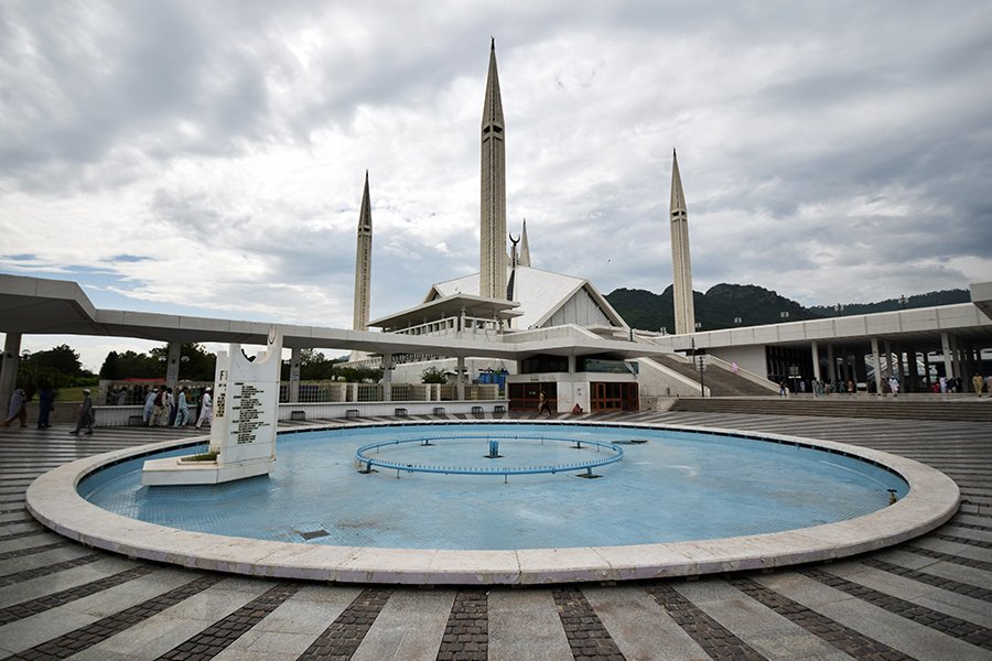
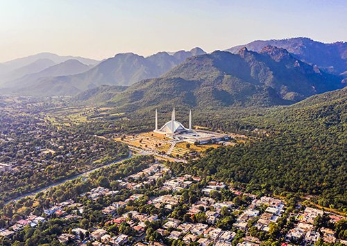
After a relaxed morning, visit some of the sights in Islamabad including Faisal Mosque and the national institute of folk heritage. Shop for local handicrafts have fun shopping for hand made carpets.
-
End of trip, transfer to the airport is provided.
Is this Trip for you?
All our tours feature a physical rating to help select the right vacation. Every one of tours require the ability to walk around sights unaided, while more active tours include longer walks or multi-day treks.
Level 1: A reasonable level of fitness is required but its more about spending time on your feet than covering large distances. You will be getting on and off vehicles, walking around sites and climbing steps.
Level 2: The typical day is busier and involves more steps or multiple sites visits every day. The trip might involve day hikes of 2-3 hours.
Level 3: You should enjoy hiking and feel comfortable hiking 3–6 miles with elevation with elevation gains/losses of up to 300m(1000 ft) per day. We suggest beginning a regular exercise regimen at least 2–3 months prior to departure.
Level 4: You should be comfortable with hiking 5-8 hours each day, up to 18km (11 miles) with as much as 3,000’elevation gain and loss or high altitude.
Level 5: Challenging for fit hikers with experience in multi-day treks in high altitude. These tours are not appropriate for novice hikers or even for experienced but unfit hikers.
If you have any questions, please reach us at info@thewander.travel
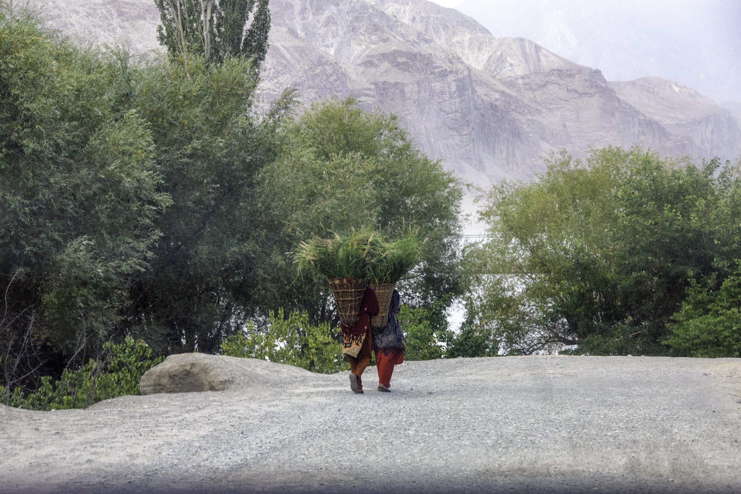
Harvest time in Khaplu
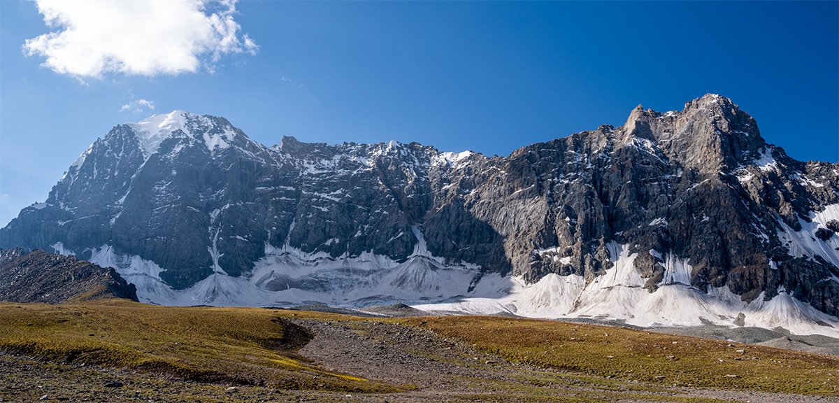
Mountains heading toward Shigar
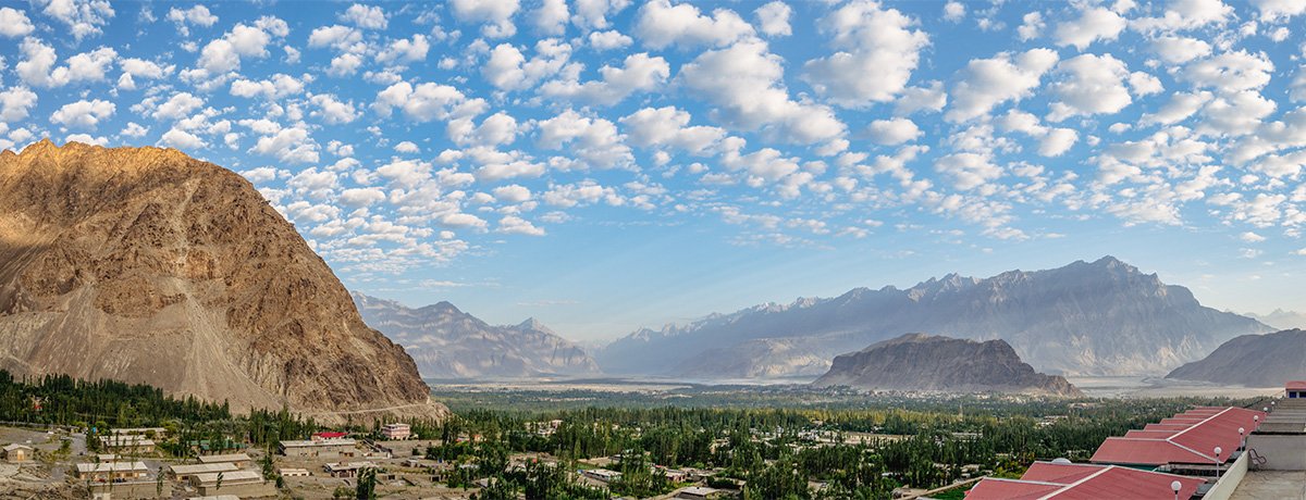
Views of Skardu Valley
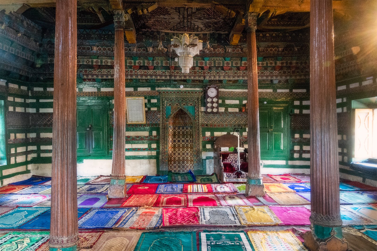
Historic Chaqchan Mosque, Khaplu
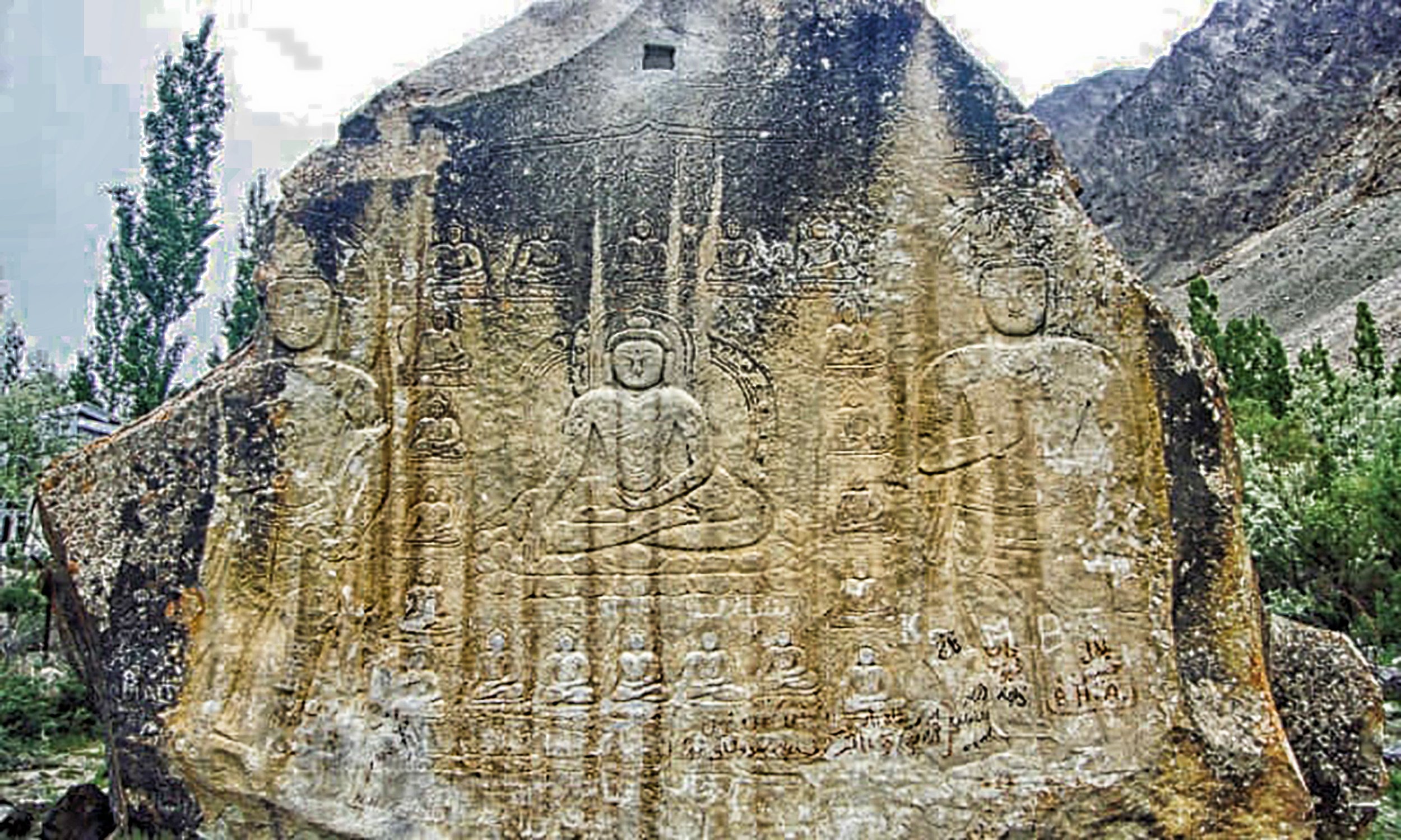
Buddha Rock, Skardu
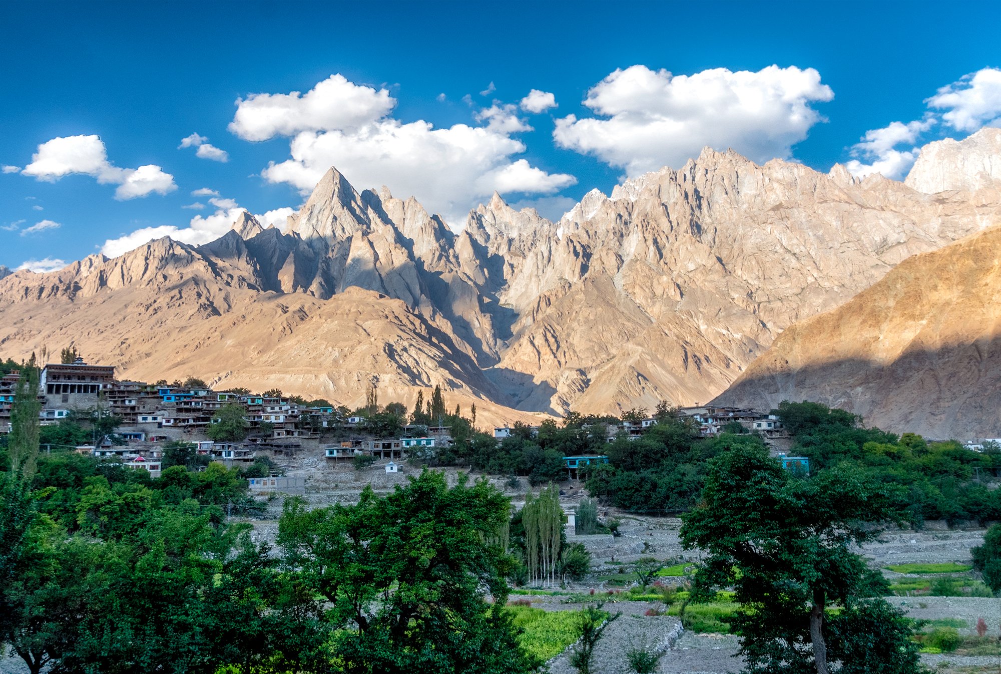
Machlu Village

Top of Thalley La

Walking towards Thalley Basecamp
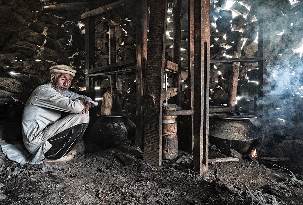
Shephard making butter
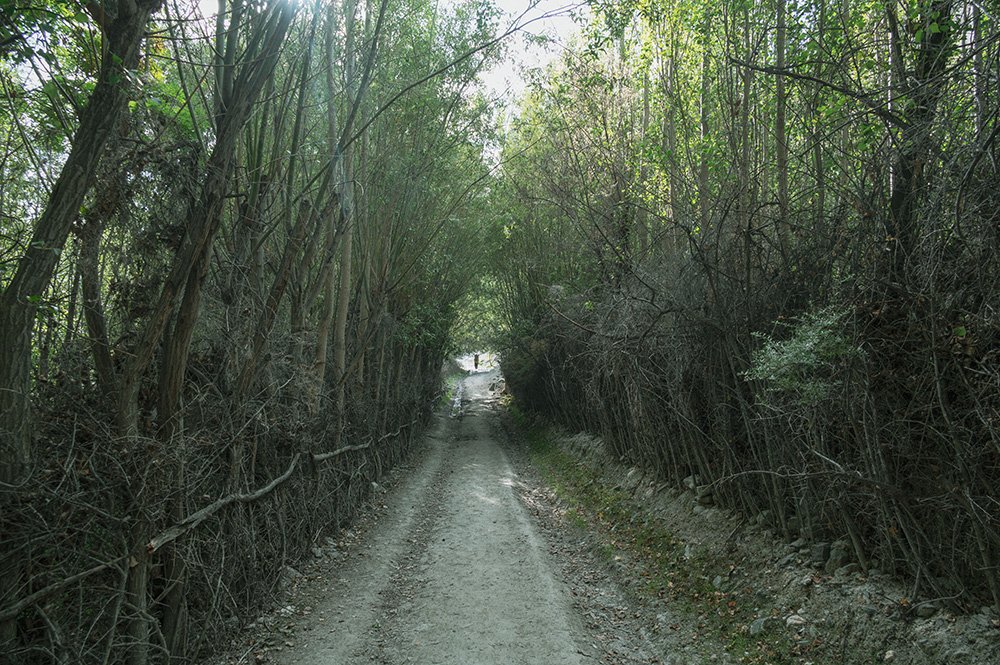
When you can see the light. Almost the end of trek

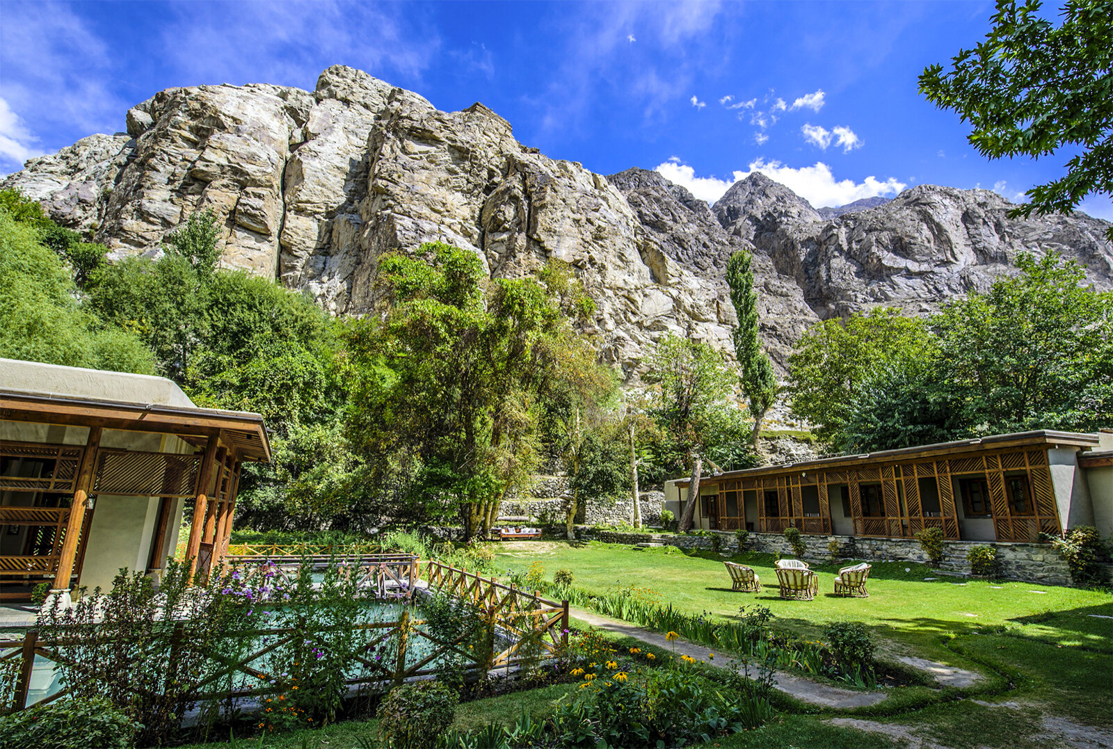
Shigar Fort Garden
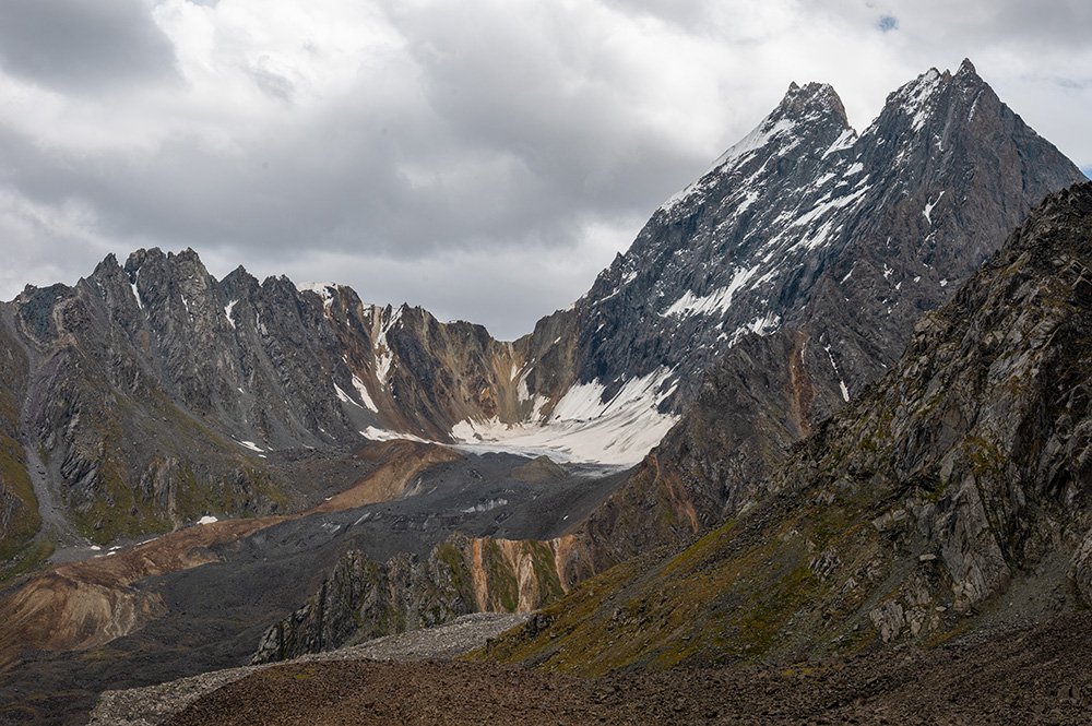
Mountains towards Thalley La

